UAV Solutions
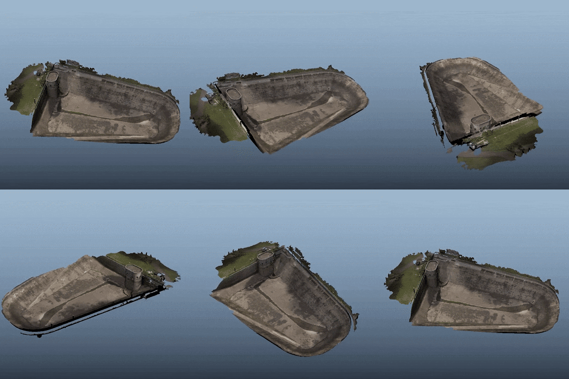
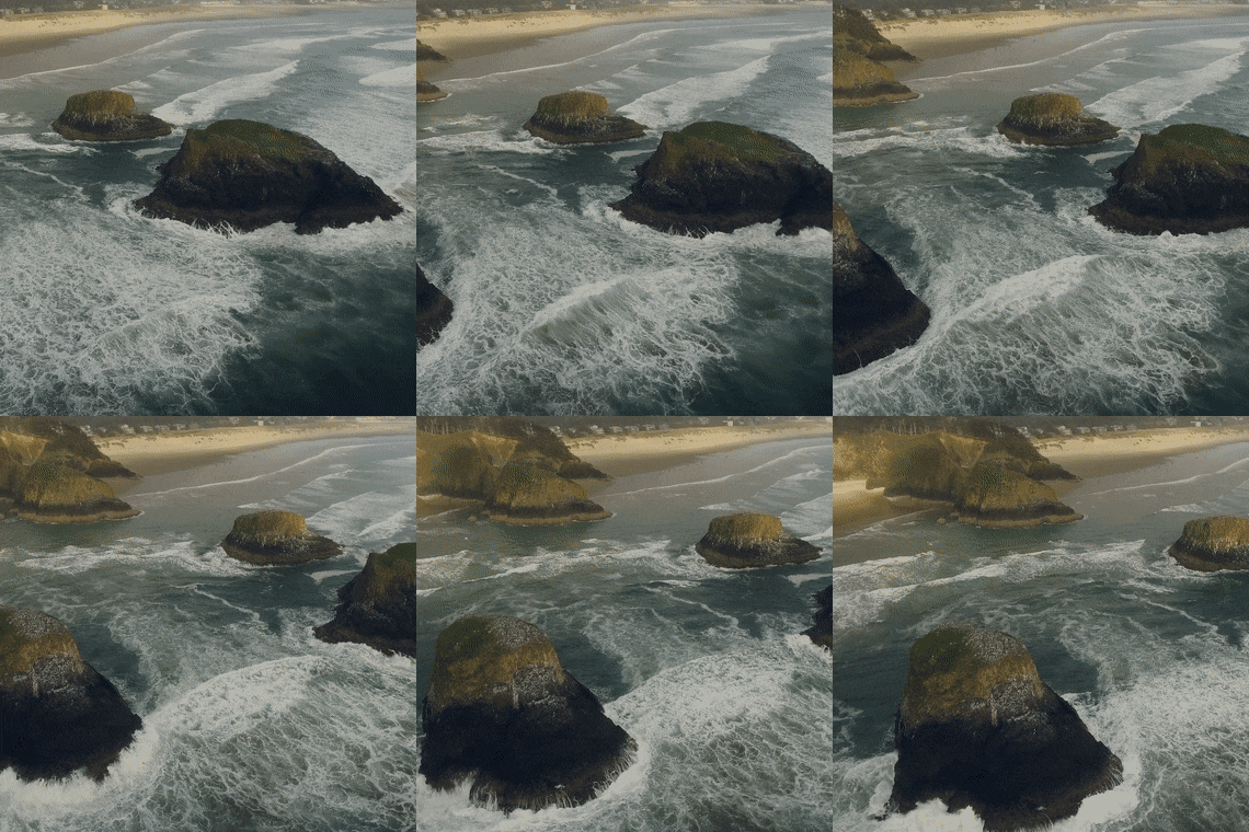
At GeoARI (Geospatial Aerial Robotic Imaging) we use drone technology to bring in a new era of conservation and environmental protection solutions. From natural feature modeling, biomass estimation, and erosion control to species identification, field monitoring, and project assessment. With our FAA compliant pilots and redundant hardware systems we can provide accurate data collection and processing to cover all of your project needs.


